Correlação entre imagens multiespectrais de VANT e medições de espectrorradiômetro nos estágios de desenvolvimento do girassol
Resumo
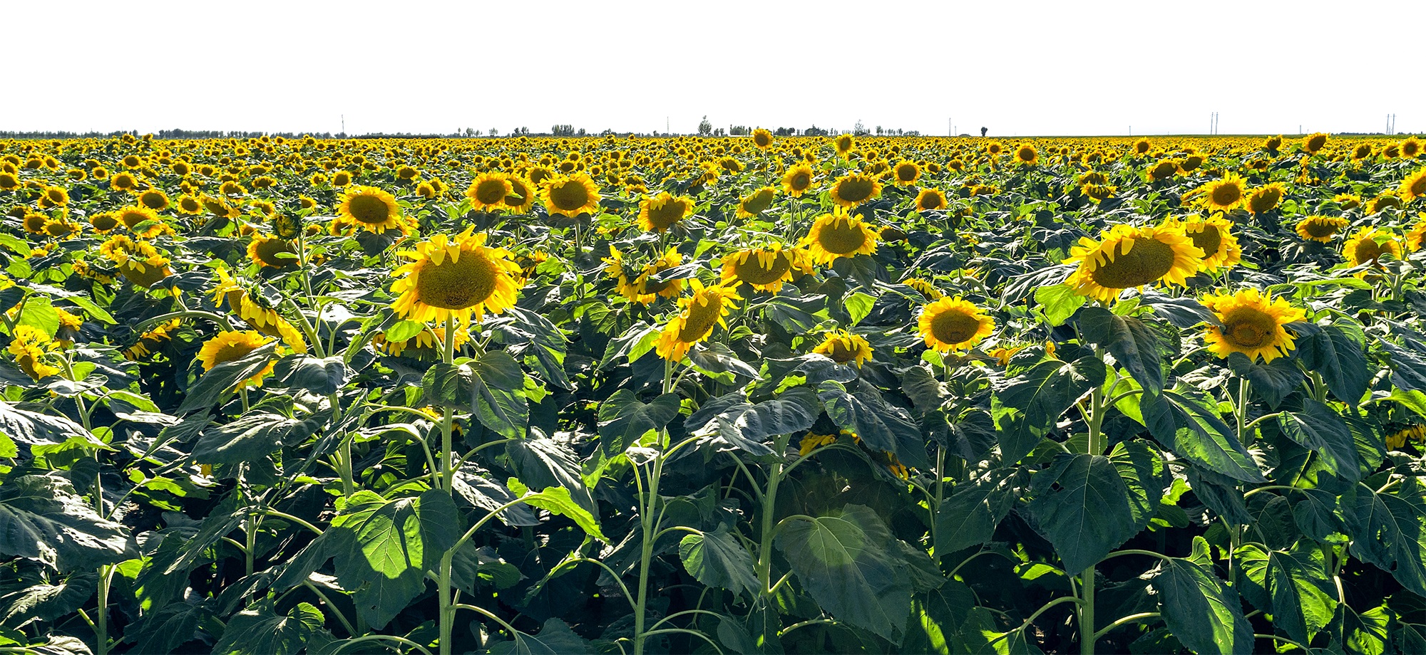
As culturas oleaginosas estão entre os grupos de produtos com déficit de oferta no mundo. A crise do óleo de girassol vivida após 2020 aumentou a importância do cultivo de girassol. As etapas mais importantes nas aplicações agrícolas são entender se a planta está saudável nas fases iniciais antes de se formar e prevenir resultados negativos na colheita. Com o desenvolvimento da tecnologia, o uso de veículos aéreos não tripulados (VANTs) e câmeras multiespectrais em aplicações agrícolas ganhou uma enorme importância. Graças aos UAVs, a resolução temporal agrícola pode ser ajustada de acordo com a solicitação do usuário, e a resolução espacial pode ser ajustada de acordo com a capacidade do sensor utilizado e a altitude de voo. A resolução espectral é diretamente proporcional ao número de bandas e ao comprimento de onda da banda. Realizamos uma análise de correlação neste estudo comparando a precisão dos valores das bandas com medições de campo feitas com um espectrorradiómetro. Medimos o girassol em suas fases vegetativa, R-3 e R-5 e encontramos uma forte correlação (r=0,894) na banda verde, r=0,845 na banda vermelha, r=0,789 na banda de borda vermelha (RE) e r=0,725 na banda do infravermelho próximo (NIR). The results show a strong connection between the spectral bands and the spectroradiometer measurements, especially in the green and red bands.
Downloads
Referências
Ateşoğlu, A., Kavzoğlu, T., Çölkesen, İ., Özlüsoylu, Ş., Tonbul, H., Yılmaz, E. Ö., & Öztürk, M. Y. (2022). türkiye'de hızlı büyüyen türlere ait spektral kütüphane kurulması: kavak türleri çalışması. Bartın Orman Fakültesi Dergisi, 24(2), 324-338. https://doi.org/10.24011/barofd.1099984
Çölkesen, I., & Yomralioğlu, T. (2014). Arazi örtüsü ve kullanımının haritalanmasında worldview-2 uydu görüntüsü ve yardımcı verilerin kullanımı. Harita Dergisi, 80(152), 12–24. https://www.harita.gov.tr/images/dergi/makaleler/b10d25cbe07aeb3.pdf
Food and Agriculture Organization of the United Nations. (January 10, 2025). The State of Food and Agriculture. https://www.fao.org/faostat/en/#data/QCL
Geipel, J., Link, J., & Claupein, W. (2014). Combined spectral and spatial modeling of corn yield based on aerial images and crop surface models acquired with an unmanned aircraft system. Remote Sensing, 6(11), 10335–10355. https://doi.org/10.3390/rs61110335
Günal, E., Kılıç O.M., Dökülen Ş. (2021). İnsansız hava aracı teknolojisi kullanılarak ayçiçeği (Helianthus annuus) bitkisinin klorofil içeriklerinin tahmin edilebilirliğinin araştırılması. EJONS International Journal on Mathematic, Engineering and Natural Sciences, 5(19), 691–700. https://doi.org/10.38063/ejons.624
Herbei, M. V., Popescu, C. A., Bertici, R., & Sala, F. (2023). Estımatıon of sunflower crop productıon based on remote sensıng technıques. AgroLife Scientific Journal, 12(1), 87–96. https://doi.org/10.17930/agl2023111
Jafari, R., & Lewis, M. (2012). Arid land characterisation with EO-1 Hyperion hyperspectral data. International Journal of Applied Earth Observation and Geoinformation, 19, 298–307. https://doi.org/10.1016/j.jag.2012.06.001
Lee, D.H., Shin, H.S., & Park, J.H. (2020). Developing a p-NDVI map for highland kimchi cabbage using spectral ınformation from UAVs and a field spectral radiometer. Agronomy, 10(11), 1798. https://doi.org/10.3390/agronomy10111798
Li, L., Zheng, X., Zhao, K., Li, X., Meng, Z., & Su, C. (2020). Potential evaluation of high spatial resolution multi-spectral images based on unmanned aerial vehicle in accurate recognition of crop types. Journal of the Indian Society of Remote Sensing, 48(11), 1471–1478. https://doi.org/10.1007/s12524-020-01141-4
Semerci, A., & Durmuş, E. (2021). Analysis of oily sunflower production in Turkey. Turkish Journal of Agriculture-Food Science and Technology, 9(1), 56-62. https://doi.org/10.24925/turjaf.v9i1.56-62.3688
Schneiter, A. A., & Miller, J. F. (1981). Description of sunflower growth stages1. Crop Science, 21(6), 901–903. https://doi.org/10.2135/cropsci1981.0011183x002100060024x
United States Department of Agriculture and Forestry. (February 10, 2024). Oil crops year book. https://www.ers.usda.gov/publications/pub-details?pubid=98237
Wong, W. (2024). What is the custom camera parameters for Mavic 3 Enterprise series and Mavic 3M? https://sdk-forum.dji.net/hc/en-us/articles/12325496609689-What-is-the-custom-camera-parameters-for-Mavic-3-Enterprise-series-and-Mavic-3M
Zeng, C., King, D. J., Richardson, M., & Shan, B. (2017). Fusion of multispectral ımagery and spectrometer data in uav remote sensing. Remote Sensing, 9(7), 696. https://doi.org/10.3390/rs9070696
Direitos de Autor (c) 2025 Alperen Erdoğan, Ömer Mutluoğlu, Önder Gürsoy

This work is licensed under a Creative Commons Attribution-NonCommercial-ShareAlike 4.0 International License.